South Loop Chicago Skyline

South Loop Chicago Photos

South Loop Chicago Skyline
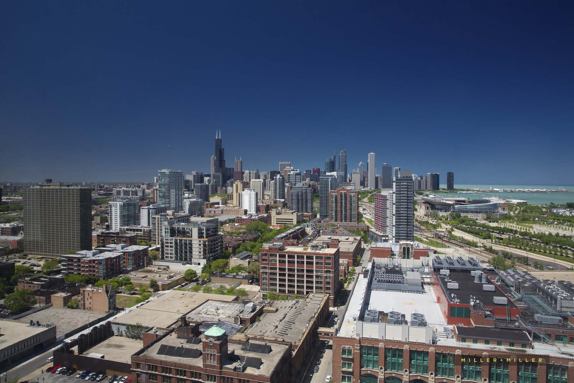
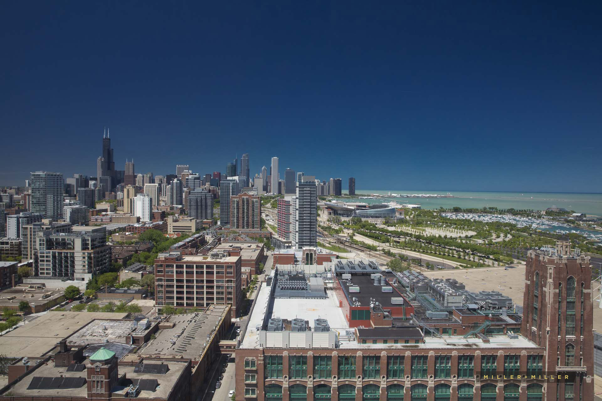
We couldn’t resist capturing a couple of South Loop Chicago Skyline Photos during our photo client’s Chicago architectural photography shoot at the South Loop’s newest mega hotel Marriott Marquis Chicago. The high-rise hotel skyscraper recently finished construction at the end of 2017 and accents the south loop with its blue-tinted steel & glass skyscraper building. View photos & all blog posts related to the Marriott Marquis hotel and McCormick Square Development area in Chicago’s South Loop.
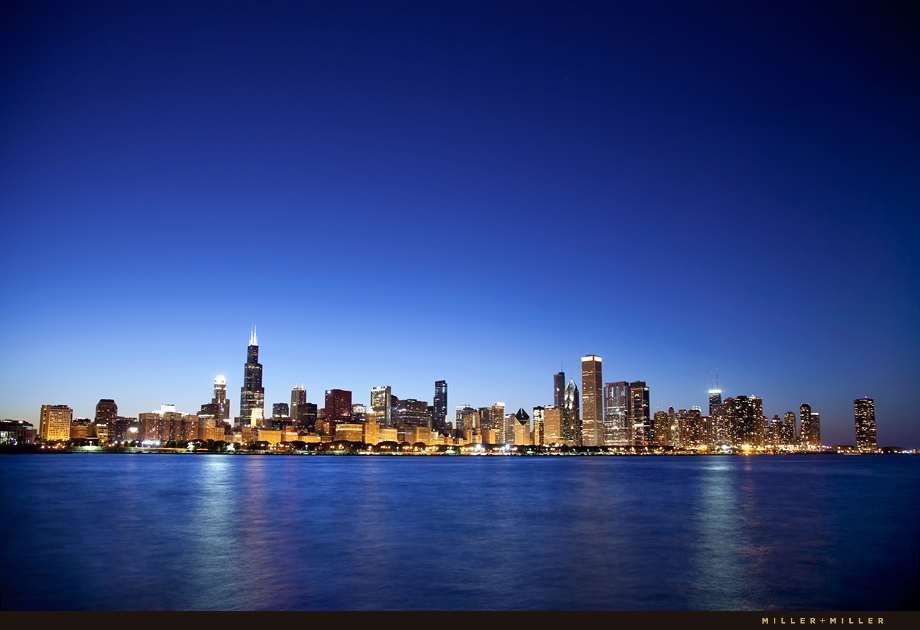
This short blog post features two photos of the south view of Chicago’s Skyline. As Chicago photographers with ten years of professional architectural photography experience, we have captured countless Chicago skyline photography angles and photographed from nearly each and every panoramic point around the City of Chicago’s beautiful skyline. Development in the South Loop real estate corridor have undergone a development boom and tremendous growth over the past 10 years. This massive growth has helped to enhance the panoramic Southern photo views of the Chicago skyline when photographed from the South Loop area.
The South Loop Chicago area is located just south of Chicago’s business area called the Loop. The South Loop region stretches from Congress Parkway at the Northern tip of the Printer’s Row neighborhood and stretching south from the southern point of Grant Park, following along the park east to Museum Campus. The Museum Campus’s historical and architectural iconic buildings of the Field Museum, Adler Planetarium, Shedd Aquarium and Soldier Field are situated along the scenic lakefront of Lake Michigan. To the east on a peninsula stretching out over the water of Lake Michigan is Northerly Island. This manmade peninsula is a popular attraction in the South Loop sought out by nature lovers exploring the new 91-acre living ecosystem of Northerly Island, Burnham Harbor yachting, boating, sports and music fans. Additional South Loop’s historical sites include Motor Row District along South Michigan Avenue and the Prairie Avenue District “Millionaire’s Row” streets lined with mansions of Chicago’s most wealthy elite during the end of the 19th century. The southern section of the South Loop is frequented by travelers for business and pleasure attending hotel conferences, expos, meetings, and events in the South Loop at McCormick Place, the largest convention center in the country. The western edges of the South Loop is the Chicago River and southern border is the I-55 Stevenson Expressway.
We travel nationwide for architectural photography projects, and after visiting nearly every state in the US, the Chicago skyline in our opinion is one of the most impressive skylines in the world. For these South Loop Chicago skyline photos, the image angles were one-of-a-kind, and photographed without a drone. Our shoot provided for an over the rooftop building position & bird’s-eye aerial photography view looking north over the architecture and real estate in the South Loop.
Looking for skyline photographs? Contact Miller + Miller Architectural Photography about purchasing Chicago skyline stock photography, or a custom photo shoot quote for skyline, skyscraper, development, or other professional photography needs.


